Twisted Roblox: How to Read Thermodynamics for Pro Storm Chasing
Master the art of storm chasing in Roblox Twisted! Learn how to read thermodynamics, analyze radar data, and predict tornado paths for better intercepts.
Published:
Table of Contents
Storm chasing in Roblox's Twisted is more than just driving into the path of a supercell; it is a complex meteorological puzzle. If you have ever wondered twisted roblox how to read thermodynamics to predict storm behavior, you are not alone in seeking the keys to becoming a top-tier chaser. Understanding the data on your UI is the ultimate difference between a successful intercept and getting caught in the wrong place.
Mastering twisted roblox how to read thermodynamics allows you to move from guessing storm locations to making calculated, professional-grade predictions. By interpreting the environmental variables correctly, you can determine if a storm will be a mild rain shower or a violent, long-track EF5 tornado. Let’s dive deep into the science behind the storm.
The Foundation: Understanding the Thermodynamics Tab
When you first open the thermodynamics tab (the sun icon at the top of your screen), it can feel overwhelming. However, this tab contains the specific ingredients that fuel every storm in the game. Think of it as the "health bar" for the atmosphere.
Key Meteorological Parameters Explained
Parameter
What it Measures
Why it Matters
CAPE
Instability
Higher values lead to more violent storm updrafts.
Dewpoint
Moisture
High dewpoints provide the fuel storms need to sustain.
Lapse Rates
Temperature Change
Steeper rates mean quicker, more intense storm growth.
SR (Helicity)
Wind Shear
Crucial for tornado development and rotation strength.
PWAT
Precipitable Water
Determines how "rain-wrapped" or obscured a storm will be.
According to community experts, these values don't just exist in a vacuum; they interact. For instance, if you have high instability (CAPE) but low wind shear (SR), you might get a robust storm that fails to produce a significant tornado. Always look for a balance of these ingredients to find the perfect chase day.
Mastering Composite Parameters: STP and VTP
If you find yourself struggling to analyze every individual number, look to the top right of the thermodynamics window. This is where the game provides "Composite Parameters," which simplify the overall risk assessment for you.
Significant Tornado Parameter (STP): This predicts the likelihood of EF2+ tornadoes. An STP value between 7 and 10 is generally considered a "sweet spot" for high-end intercepts.
Violent Tornado Parameter (VTP): This focuses on the potential for EF4 or EF5 events. If you see values above 1.0, prepare for extreme conditions.
Pro Tip: Do not ignore the lower-risk days. While high-risk days are exciting, community reports suggest that moderate-risk days often provide more photogenic, less rain-wrapped tornadoes that are easier to track and capture on your drone.
Radar Interpretation: Seeing the Invisible
Once you have analyzed the atmosphere using your thermodynamics knowledge, you must use the in-game radar to pinpoint the storm’s structure. The radar is your eyes in the sky.
Essential Radar Tools for Chasers
Base Velocity: Use this to find the "couplet." A tight pack of red and green indicates rotation. If you see this, a tornado is likely forming or already on the ground.
TVS (Tornado Vortex Signature): These triangles on the radar estimate wind speeds. Pink represents 140+ mph, while green represents 35-79 mph.
The Hook Echo: Always position your vehicle near the hook-shaped tail of the storm. This is the classic location for tornadogenesis.
If you are new to the game, you can access the Official Twisted Roblox Page to check for game updates that might shift how these radar tools function. Keeping your software updated is the first step to professional chasing.
Positioning Strategy: The "Left or Right" Rule
One of the most common mistakes players make is miscalculating their position relative to the tornado. If you want to know if you are in the right spot, use this simple trick from experienced players:
Drifting Left: The tornado is moving behind you. Back up to maintain a safe distance.
Drifting Right: The tornado is crossing in front of you. Adjust your position forward.
No Shift: You are in the "golden zone." Stay put and prepare your camera for the best intercept of your life.
Analyzing Storm Motion via Hodographs
The hodograph on the right side of the thermodynamics tab is a visual representation of wind speed and direction at various altitudes. It dictates the shape and "deviance" of the storm.
Hodograph Shape Impacts
Hodograph Type
Expected Result
Small/Weak
Better for hail production.
Large/Strong
Ideal for violent, long-track tornadogenesis.
Circular/Messy
Often leads to short-lived, deviant tornadoes.
If the hodograph is long and strong, expect the storm to move faster and produce more significant tornadoes. Always factor in the storm's speed; if it is moving too fast, you will have less time to deploy your equipment.
FAQ: Frequently Asked Questions
How does thermodynamics influence tornado intensity?
Thermodynamics provide the "fuel" for the storm. High CAPE and steep lapse rates create the instability required for strong updrafts, while high storm-relative helicity (SR) provides the rotation needed to turn those updrafts into violent, long-track tornadoes.
What should I do if the storm is too rain-wrapped?
If your PWAT (Precipitable Water) values are high, the storm will likely be obscured by heavy rain. In these cases, rely heavily on your radar’s Base Velocity to track the rotation rather than trying to rely on visual line-of-sight, which can be dangerous and unreliable.
Does the time of day affect my ability to see storms?
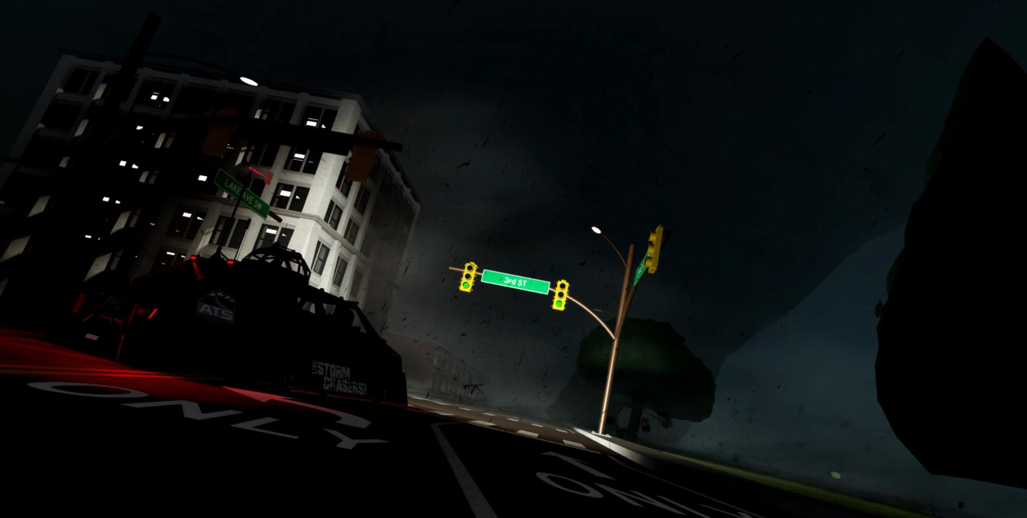
Yes. At night, visibility is significantly reduced. In these conditions, lightning becomes your primary light source. Use the tornado warning polygon to predict the path and position yourself near the center of the polygon to ensure you aren't caught off guard when the tornado crosses your path.
Can I get an EF5 in a "Slight Risk" zone?
While it is rarer, the game's engine uses the specific parameters (CAPE, SR, etc.) rather than just the risk label. If you see high wind shear and instability, even a lower-risk day can produce a powerful storm. Always check the numbers rather than relying solely on the color-coded risk map.